Storms in the Italian Alps — why they arrive so suddenly
An Alpine storm rarely announces itself with a morning glance at the sky. At eight it can be cloudless over the Dolomites; by one a harmless puff appears above the ridge; by half past two that same puff is eight kilometres tall and discharging every fifteen seconds. A walker who set out in perfect weather has every right to feel cheated.
They have not been cheated — they are in the mountains. The mechanism behind this is predictable, both by the hour and by location, far more so than most people assume. Below we explain where these storms come from, why the afternoon specifically, and how to stay several hours ahead of them.
Check the storm for your town →
Recently added — storms
- Storms in Europe — radar, alerts and what to do
- Hail during Alpine storms — how often it falls and why it is dangerous
- Storm alerts in Croatia — will they reach a tourist, and where to shelter
- Sudden storms and downpours in France — the regions hit most often
- Storms in Croatia and local flooding — Dubrovnik, Split, Zadar
.png)
Data: Open-Meteo · refreshed every 15 minutes
Why an Alpine storm builds in a single hour
Mountains run a process the lowlands simply do not have: orographically forced convection. A slope facing the sun heats faster than air at the same altitude above the valley floor. A chimney of warm air forms along the slope and starts rising — and it does so regardless of whether the wider region sits under high or low pressure.
That is why an Alpine storm can erupt in "fine weather". It needs no front. Sunshine, humid valley air and a slope at the right angle are enough.
Speed is the crucial part. In the lowlands a storm cell typically takes two to three hours to build and you can watch it approach from a distance. In the Alps the same cell forms above you, in 45 to 90 minutes, often hidden behind a ridge that blocks the horizon. By the time you hear the first thunder you usually have a quarter of an hour, not an hour.
The second factor is moisture from the Mediterranean and the Adriatic. The Italian Alps sit closer to warm water than any other stretch of the Alpine arc — air flowing in from the Po Valley and the Adriatic carries considerably more water vapour than air over Switzerland or Bavaria. More vapour means more energy to release, and therefore a more violent outcome.
The hours when a storm is most likely
The daily distribution of Alpine storms is one of the most regular phenomena in European meteorology. It looks roughly like this:
| Time | What happens |
|---|---|
| 06:00 – 10:00 | Usually calm. The best window for setting out and for difficult sections. |
| 10:00 – 13:00 | First cumulus appears above the ridges. A warning sign, not an alarm. |
| 13:00 – 15:00 | Growth phase. Clouds build vertically and darken underneath. |
| 15:00 – 18:00 | Peak. The most lightning, hail and sudden downpours. |
| 18:00 – 22:00 | Decay over the ridges, but cells drift into the valleys and can still strike there. |
This has a direct bearing on planning. In the Dolomites, the Julian Alps or around Lake Garda the working rule is: be below the treeline by three in the afternoon, and ideally in a refuge or your car. Not because a storm will certainly come, but because if it does, that is when.
Related articles
-
 Italy
Hail during Alpine storms — how often it falls and why it is dangerous
Hail is the part of an Alpine storm that catches people out most often. Lightning is expected,
Italy
Hail during Alpine storms — how often it falls and why it is dangerous
Hail is the part of an Alpine storm that catches people out most often. Lightning is expected,
-
 Italy
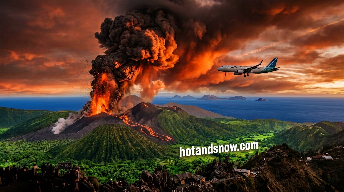
Etna eruption — Catania airport, volcanic ash and your Sicily trip
Etna is one of the most active volcanoes on Earth and it keeps returning to the headlines: lava
Italy
Etna eruption — Catania airport, volcanic ash and your Sicily trip
Etna is one of the most active volcanoes on Earth and it keeps returning to the headlines: lava
- Italy Campi Flegrei — earthquakes near Naples and bradyseism explained Campi Flegrei is a caldera west of Naples where the ground has been slowly rising for years and
-
 Italy
Heatwave in Rome: what to expect and how to stay safe
A heatwave is not simply a hot day. Meteorologically it is a stretch of at least three consecut
Italy
Heatwave in Rome: what to expect and how to stay safe
A heatwave is not simply a hot day. Meteorologically it is a stretch of at least three consecut
-
.png) Italy
🌋 Sicily Wildfires – Live Map, Current Situation and Tourist Safety
Sicily wildfires today, Sicily has become one of the Mediterranean’s most wildfire‑prone region
Italy
🌋 Sicily Wildfires – Live Map, Current Situation and Tourist Safety
Sicily wildfires today, Sicily has become one of the Mediterranean’s most wildfire‑prone region
-
 Storms Storms in Europe — radar, alerts and what to do
A storm in the Alps behaves nothing like a storm over the Baltic, and the warning you would get
Storms Storms in Europe — radar, alerts and what to do
A storm in the Alps behaves nothing like a storm over the Baltic, and the warning you would get
The parts of Italy with the most storms
Not every stretch of the Italian mountains is equally stormy. A few areas stand out clearly:
- The Alpine foothills of Lombardy and Veneto — the belt between Bergamo, Brescia, Verona and Vicenza. Statistically one of the stormiest regions in Europe. Warm, humid air off the Po Valley meets the first mountain barrier and is forced violently upward.
- The lake district — Garda, Como, Maggiore — the water releases heat overnight and sustains instability. Storms over the lakes can develop in the evening and even at dawn, against the general daily pattern.
- The Dolomites — classic afternoon convection, amplified by vertical walls that act as radiators.
- The Carnic and Julian Alps, Friuli — the highest rainfall totals in Italy. Here a storm more often ends in a violent downpour than in lightning alone.
For a visitor this means something simple: around Garda and in the Dolomites the risk is real throughout the season, from May to September, not only on scorching days.
Wind and weather — Italy
Wind direction and speed decide which way a fire runs. Switch the layer to temperature or humidity to judge the risk.
Strong wind, temperatures above 35 °C and humidity below 30% together are the conditions in which fire spreads fastest.
Safety core: what to do when a storm catches you in the mountains
Will a tourist in the danger zone actually be warned? Only partly. Italy uses IT-Alert, built on Cell Broadcast — the message reaches every phone connected to a cell in the affected area, including foreign SIM cards, with no internet needed. The catch is that IT-Alert is reserved for large-scale events, and a single storm cell over one valley rarely clears that threshold. Regional protezione civile warnings are published in Italian, on websites no visitor knows. The practical conclusion: do not assume anyone will warn you.
- Come down before noon. Alpine convective storms peak between 14:00 and 18:00. An early start and a return by 13:00 removes most of the risk without any equipment at all.
- Get off ridges, summits and passes. Lightning strikes the highest point around. Descending 100 metres changes the situation completely.
- Move away from metal — via ferrata cables, steel ropes, lift pylons, trekking poles. Put them down several metres away from you.
- Do not shelter under a lone tree or a rock overhang. A discharge can jump from the tree or the wall onto a person standing beside it.
- Safe position: crouch on your backpack, feet together, hands on knees. Do not lie down — the aim is minimum contact with the ground.
During heavy rain, never sit by a river or stay in a narrow valley. This is the single most important sentence here. Mountain streams rise within minutes, and the surge comes from rain that fell several kilometres upstream — it may be sunny where you are standing. A torrent you crossed dry-shod in the morning can be impassable by afternoon. Move to higher ground before the water starts rising, not while it does.
In a life-threatening emergency call 112 — it works across the EU, even without a SIM card and from a locked phone.
How to check whether the storm will hit your valley
A regional forecast says "storms possible" for half the summer and is therefore useless for planning a specific day. The question that actually matters is different: will a cell move over my town, at what time, and for how long.
Our storm tool calculates exactly that. You type a place name — Cortina, Bolzano, Riva del Garda, Belluno — and get a point forecast: start time, peak, duration, signal strength, and separately the chance that the storm passes you by. In the mountains that last figure is the most valuable of all, because very often a cell travels down the neighbouring valley and all you get is wind and a few drops.
The limits need stating plainly. The ICON model we run on has a grid of a few kilometres. In terrain where two valleys are separated by a 2,000-metre ridge, that resolution captures the relief only partially — it will catch the storm situation in the area and the timing of its development, but it will not settle whether the northern or the southern slope takes the hit. Treat the result as a strong indication of timing, not a guarantee of location.
A practical way to use it: check the forecast the evening before and plan to be down at least an hour before the predicted start. If the tool shows a peak at 16:00, be in the valley by 14:00.
See also
All storm pages
- Storms in Europe — radar, alerts and what to do
- Hail during Alpine storms — how often it falls and why it is dangerous
- Storm alerts in Croatia — will they reach a tourist, and where to shelter
- Sudden storms and downpours in France — the regions hit most often
- Storms in Croatia and local flooding — Dubrovnik, Split, Zadar
- Storms in France: Paris, Marseille, Nice and lightning protection
- When will storms hit Australia — checking the hour for your town
- When will storms hit the USA — checking the hour for your town
- When will the storm end in Australia — duration and the all-clear
- When will the storm end in the USA — duration and the all-clear
- Destructive Tornadoes and Severe Storms Strike Chicago and Illinois: Midwest Disaster Report
- How Far in Advance Do We Know About Tornadoes? Official Emergency Alerts & Warning Signs
- Can Tornadoes Destroy Entire Cities in the US? Structural Risks & Historic Outbreaks
- What to Do During a Thunderstorm — the Complete Safety Guide
- When will there be a storm in South East England? London, Kent, Essex
- When will there be a storm in Scotland? Glasgow, Edinburgh, Highlands
- When will there be a storm in the Midlands? Birmingham, Nottingham, Leicester
- Storm Alert: UK — when and where a thunderstorm is coming
- Storm Alert: Poland — when and where a thunderstorm is coming
- Storm Alert: Germany — when and where a thunderstorm is coming
- Storm Alert: France — mistral, Cévennes episodes and Météo-France