Wildfires in Italy: Sicily, Sardinia and emergency numbers
Italy's fire problem is concentrated rather than nationwide. The north stays comparatively quiet while Sicily, Calabria, Sardinia and Puglia account for most of the burned area, driven by the scirocco blowing off North Africa. This page covers the satellite map of active detections, the two-tier firefighting system that confuses most news reports, why southern vegetation burns the way it does, and what to do if smoke appears near your accommodation.
Emergency numbers — Italy
- 112 Emergency number Works across the EU, also from a locked phone and without a SIM card
- 115 Fire brigade
- 118 Ambulance
- 1515 Forest fires Forest fires and environmental crime
In Italy report forest fires on 115 or 1515; several regions ban open burning at the height of the season.
If you do not know the local number or do not speak the language, dial 112. Operators on 112 handle calls in English.
Data: Open-Meteo · refreshed every 15 minutes
Sicily and Sardinia: two islands, two problems
Both islands dominate Italian fire statistics, but for different reasons.
Sicily suffers from simultaneity. Under a scirocco episode dozens of fronts can open on the same day, and with a limited number of Canadair aircraft nationally, water drops effectively queue. Abandoned farmland makes it worse: once cultivation stops, grass and weeds build continuous, tall fine fuel right along roads. Etna's slopes add pine plantations on steep ground.
Sardinia has the opposite issue — fewer fires, but harder ones. Tall maquis covers terrain with a genuinely poor road network, and there are areas where the only practical access is by air. The 2021 Montiferru fire burned roughly 20,000 hectares, destroyed centuries-old olive groves and forced several hundred evacuations.
For travellers, the practical difference is this: on Sicily check whether your route crosses an active front, because inland roads close. On Sardinia the risk is being cut off in a coastal village with a single access road.

Fire map — Italy
Each dot is a thermal anomaly detected from orbit. Tap a dot for radiative power and the satellite pass time.
Updated —
Satellites pass over a given point a few times a day, so a fire may appear with a delay. Use this to assess the situation — it does not replace official bulletins from national civil protection. Source: NASA FIRMS.
Hotspot statistics — Italy
Reading the satellite map
The points are thermal anomalies from the VIIRS instrument aboard NOAA-20 and Suomi NPP. They are temperature readings rather than confirmed fires, and each satellite crosses a given point only a few times daily — a fire starting at midday may not appear until the night pass.
Detections above 30 MW carry a flame icon, since above that threshold you are almost certainly looking at real vegetation burning. Below it, Italian readings include a lot of noise: stubble burning in Puglia and Sicily, steel works, cement kilns and above all the refinery flares at Priolo and Gela on Sicily and Sarroch on Sardinia, which burn continuously and appear at identical coordinates every night.
Fire map — Italy
Each dot is a thermal anomaly detected from orbit. Tap a dot for radiative power and the satellite pass time.
Updated —
Satellites pass over a given point a few times a day, so a fire may appear with a delay. Use this to assess the situation — it does not replace official bulletins from national civil protection. Source: NASA FIRMS.
Hotspot statistics — Italy
A line of detections running northwest to southeast during a scirocco episode is one wind-driven front, not separate incidents.
Related articles
-
Italy
Heatwave in Rome: what to expect and how to stay safe
A heatwave is not simply a hot day. Meteorologically it is a stretch of at least three consecut
-
.png) Italy
🌋 Sicily Wildfires – Live Map, Current Situation and Tourist Safety
Sicily wildfires today, Sicily has become one of the Mediterranean’s most wildfire‑prone region
Italy
🌋 Sicily Wildfires – Live Map, Current Situation and Tourist Safety
Sicily wildfires today, Sicily has become one of the Mediterranean’s most wildfire‑prone region
-
 Italy
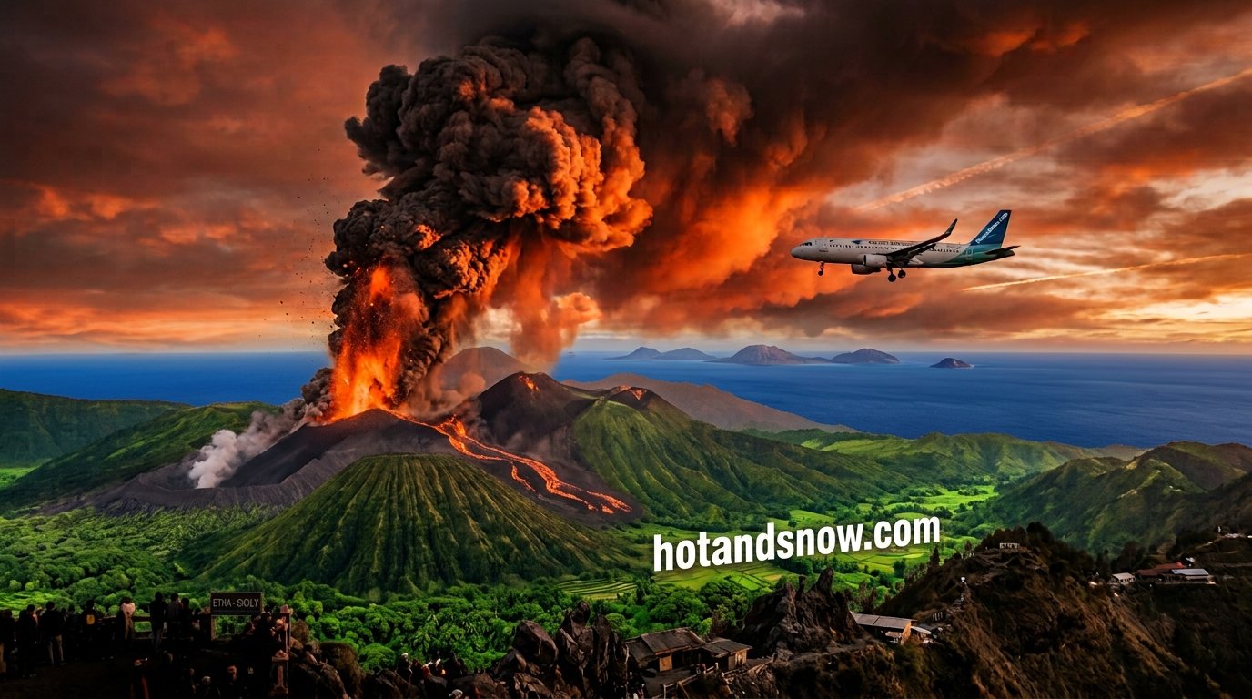
Etna eruption — Catania airport, volcanic ash and your Sicily trip
Etna is one of the most active volcanoes on Earth and it keeps returning to the headlines: lava
Italy
Etna eruption — Catania airport, volcanic ash and your Sicily trip
Etna is one of the most active volcanoes on Earth and it keeps returning to the headlines: lava
- Italy Campi Flegrei — earthquakes near Naples and bradyseism explained Campi Flegrei is a caldera west of Naples where the ground has been slowly rising for years and
-
.png) Italy
Storms in the Italian Alps — why they arrive so suddenly
An Alpine storm rarely announces itself with a morning glance at the sky. At eight it can be cl
Italy
Storms in the Italian Alps — why they arrive so suddenly
An Alpine storm rarely announces itself with a morning glance at the sky. At eight it can be cl
-
 Italy
Hail during Alpine storms — how often it falls and why it is dangerous
Hail is the part of an Alpine storm that catches people out most often. Lightning is expected,
Italy
Hail during Alpine storms — how often it falls and why it is dangerous
Hail is the part of an Alpine storm that catches people out most often. Lightning is expected,
Who fights fires in Italy
The Italian system has two tiers, and knowing this makes press reports far easier to follow. Regions handle first response, each with its own organisation, volunteer network and often its own helicopters. The state steps in with heavy air support when a region is overwhelmed.
The AIB campaign — antincendio boschivo — runs from 15 June to 15 October. During the peak window of 1 July to 5 September 2026, the state air fleet comprises 15 Canadair CL-415 aircraft on the flight line plus 4 heavy Erickson S-64F helicopters. Across the whole campaign a further 9 helicopters from the armed forces and the Carabinieri are added. In extreme situations Italy can call on aircraft co-funded by the European Commission under rescEU.
The Canadair fleet moved from Civil Protection to the Vigili del Fuoco, the national fire service. Of 19 airframes, 15 stay on the line while the rest rotate through maintenance. Flight coordination runs through COAU, the unified air operations centre, with round-the-clock regional centres called SOUP.
On the ground the fire is commanded by a DOS — Direttore delle Operazioni di Spegnimento — who decides whether and where a Canadair drops. Cause investigation belongs to the Carabinieri Forestali, who absorbed the former state forest corps in 2017.
Regional capacity is substantial. Lazio alone fields over 230 volunteer organisations, more than 700 firefighting vehicles and 7 regional helicopters for the 2026 campaign. Italy's volunteer pillar is a real force, not an afterthought.
Wind and weather — Italy
Wind direction and speed decide which way a fire runs. Switch the layer to temperature or humidity to judge the risk.
Strong wind, temperatures above 35 °C and humidity below 30% together are the conditions in which fire spreads fastest.
Vegetation and wind: why Italy burns
Maritime and Aleppo pine along the coast bring resin and low crowns. Beneath them grows maquis — mastic, heather, kermes oak, myrtle and rosemary: dense shrubs full of essential oils forming a vertical fuel ladder into the canopy. Once flame reaches the crowns, ground crews cannot hold the fire.
Eucalyptus, planted widely across the south, grows fast but carries volatile oils in its leaves that encourage crown fire and throw embers far ahead of the front.
The engine is the scirocco, a hot dry wind off Africa that can lift temperature ten degrees in a few hours while crushing humidity below 20 per cent. Under scirocco, fire behaviour becomes very hard to predict and air drops lose effectiveness because water disperses before reaching the ground.
Rural abandonment compounds all of it. The mosaic of crops, pasture and grazing that once fragmented the landscape has largely gone across the Mezzogiorno, leaving fuel continuity where firebreaks used to exist naturally.
Statistics: what the numbers say
Italy records several thousand forest fires in a typical year, distributed very unevenly. Sicily, Calabria, Sardinia and Puglia account for the bulk of burned area; the north stays relatively calm outside unusually dry summers in Piedmont and Liguria.
The recent benchmark is Sardinia's Montiferru fire of 2021 at roughly 20,000 hectares. Sicily in the same year and subsequent seasons has dealt with dozens of concurrent fronts under scirocco conditions.
Causes are a subject of separate debate in Italy, because the share of deliberate ignition runs higher than the European average. Motives vary: land speculation, disputes over grazing rights, and stubble burning that escapes control. Ordinary negligence adds the rest — machinery sparks, cigarettes and ageing power lines. This is precisely why the Carabinieri Forestali treat cause determination as a full criminal investigation rather than a formality.
What to do as a tourist
- Call 112 — EU-wide, works without a SIM card and on a locked phone, English available. 115 reaches the Vigili del Fuoco directly. 1515 is the historic forest service line, now run by the Carabinieri Forestali for environmental reports.
- Keep emergency alerts enabled. Italy uses IT-Alert via Cell Broadcast, reaching every phone in an area without mobile data or an Italian SIM. The system is newer than the Greek or Spanish equivalents and used more sparingly, so do not assume silence means safety.
- Sheltering beats fleeing once the front is close — a masonry building with windows shut is safer than a narrow road in smoke.
- Evacuating by car: windows closed, air conditioning on recirculate, headlights on, never parked on the shoulder of an evacuation route.
- Move perpendicular to the wind, never uphill ahead of the flames.
Keep screenshots of any official alert you receive — they are the basis of a later claim on a flight or booking. Live tracking in Polish: where fires are burning in Italy and Sicily situation report.
Footage and reports — Italy
Recent clips from the last 30 days. Playback starts when you tap a thumbnail.
Worth checking before you drive
Services we run — route planning, road alerts and household cost tracking.
- mapaopp.pl Speed cameras, average speed zones and live hazard reports on Polish roads
- spedolink.com Route planner: EC 561/2006 driving time, rest areas and speed cameras
- radarki.pl Patrol and hazard alerts straight to your phone
- metrigo.pl Track electricity, gas, pellet and coal use, meter by meter
- mojpiec.pl How to cut heating bills and set up your boiler
- okonato.pl Home heating without overpaying — guides and calculations
Frequently asked questions
Which emergency number should I call for a fire in Italy?
112 works across the EU, including without a SIM card and on a locked phone, with English support. 115 is the direct line to the Vigili del Fuoco, the national fire service. 1515 is the historic forest service number, now handled by the Carabinieri Forestali for environmental reports. For a fire in progress, call 112 or 115.
Will I get an emergency alert on my phone in Italy?
Yes, through IT-Alert, which uses Cell Broadcast to reach every phone in a defined area without mobile data or an Italian SIM. Note that the system is newer than the Greek or Spanish equivalents and is used more sparingly, so the absence of an alert does not mean the absence of danger. Do not disable emergency notifications in your phone settings.
What is the difference between Vigili del Fuoco and regional volunteers?
The Vigili del Fuoco are the national fire service and operate the Canadair fleet, stepping in when a fire exceeds regional capacity. First response belongs to the regional system: volunteer AIB organisations with their own helicopters and vehicles. Lazio alone fields over 230 volunteer organisations and 700 vehicles. On-scene command sits with the DOS, and cause investigation belongs to a third body, the Carabinieri Forestali.
When is the risk highest, and does it apply to all of Italy?
The AIB campaign runs 15 June to 15 October, with the peak window from 1 July to 5 September. Risk is very unevenly spread: Sicily, Calabria, Sardinia and Puglia account for most burned area, while the north stays comparatively calm outside exceptionally dry summers. In the south the decisive factor is the scirocco rather than the calendar.
Can I use a barbecue or smoke in the countryside?
Not during the fire season. Lighting fire in forest land and its surrounding zone is banned, including barbecues, camping stoves and throwing cigarette butts from a car. Specific prohibitions and dates are set by regions and municipalities, so rules can differ between Tuscany and Sicily. Fines are substantial, and causing a fire brings criminal and civil liability for suppression costs.
Why do some map points never disappear?
They are permanent industrial heat sources. In Italy the clearest cases are the refinery flares at Priolo and Gela on Sicily and Sarroch on Sardinia, which burn continuously and register at identical coordinates every night. Steel works and cement kilns also show up. A point always in the same place with stable power is not a fire.
Will insurance cover a holiday cancelled because of wildfire?
It depends on the policy and is worth checking before departure. Many budget policies cover cancellation for medical reasons only and exclude natural disasters, or require an official evacuation order for your specific area. The European Health Insurance Card covers medical treatment but not evacuation, alternative accommodation or lost luggage. Keep screenshots of any IT-Alert messages you receive as evidence.
All articles in this language
- Etna eruption — Catania airport, volcanic ash and your Sicily trip
- Campi Flegrei — earthquakes near Naples and bradyseism explained
- Heatwave in Rome: what to expect and how to stay safe
- Storms in the Italian Alps — why they arrive so suddenly
- Hail during Alpine storms — how often it falls and why it is dangerous
- 🌋 Sicily Wildfires – Live Map, Current Situation and Tourist Safety
- Volcanic ash and flights — cancellations and your passenger rights
- Iceland volcano — Reykjanes eruptions, Grindavík and the Blue Lagoon
- Storms in Europe — radar, alerts and what to do
- Snow and winter in Europe — map, passes and rules
- The avalanche danger scale — how to read a bulletin
- Snow in the Alps — when it falls and which passes close first
- Winter tyres and snow chains in Europe — where they are compulsory
- Heatwave in Marseille: what to expect and how to stay safe
- Heatwave in Madrid: what to expect and how to stay safe
- Storm alerts in Croatia — will they reach a tourist, and where to shelter
- Sudden storms and downpours in France — the regions hit most often
- Storms in Croatia and local flooding — Dubrovnik, Split, Zadar
- Storms in France: Paris, Marseille, Nice and lightning protection
- When will storms hit Australia — checking the hour for your town
- When will storms hit the USA — checking the hour for your town
- When will the storm end in Australia — duration and the all-clear
- When will the storm end in the USA — duration and the all-clear
- Destructive Tornadoes and Severe Storms Strike Chicago and Illinois: Midwest Disaster Report
- How Far in Advance Do We Know About Tornadoes? Official Emergency Alerts & Warning Signs
- Can Tornadoes Destroy Entire Cities in the US? Structural Risks & Historic Outbreaks
- What to Do During a Thunderstorm — the Complete Safety Guide
- Timber Fire in Monterey County Burns Over 1,210 Hectares: Evacuations and Containment Updates
- Wildfires in Croatia: Critical Situation in Omiš and Dalmatia – Report and Evacuations
- When will there be a storm in South East England? London, Kent, Essex
- When will there be a storm in Scotland? Glasgow, Edinburgh, Highlands
- When will there be a storm in the Midlands? Birmingham, Nottingham, Leicester
- Storm Alert: UK — when and where a thunderstorm is coming
- Storm Alert: Poland — when and where a thunderstorm is coming
- Storm Alert: Germany — when and where a thunderstorm is coming
- Storm Alert: France — mistral, Cévennes episodes and Météo-France
- Wildfire Makarska Today: Live Maps, Emergency Alerts, Top Attractions & Evacuation Rules
- Canary Islands Wildfire Map: Live Updates, Risk Levels
- Wildfire in Turkey Live: Izmir and Aegean Mountains – Fire Warnings and Emergency Alerts
- Greece Wildfires 2026: Over 100 Homes Destroyed Near Athens as Hurricane Winds Rage
- Croatia Wildfires Today — Zadar & Split Live Map, Safety & Holiday Warnings
- Zadar & Split Wildfire Map — Live Fires in Dalmatia & Emergency Alerts
- Rethymno Wildfires Today — Live Map, Hazard Levels & Safety Info
- Rethymno Fire Map — Live Wildfires on Crete & Emergency Alerts
- Provence Fires Today — Carte des Incendies & Safety Alerts
- Provence Wildfire Map — Live Fires in Southern France & Emergency Alerts
- Rhodes Wildfires – Live Map, Current Situation and Tourist Safety
- Tenerife Wildfire Map — Live Fire Locations & Tourist Safety Updates
- Wildfires in the Split Region — Dalmatia, Bora Wind, Detours, and Evacuation
- Where is the Fire Live in Alanya? Real-Time Wildfire Map, Resorts, and Emergency Alerts
- Live Wildfire Map Spain 2026: NASA Satellite Data, Major Fires, and Emergency Information
- Wildfires in Mallorca — Serra de Tramuntana Risks, ES-Alerts, and Evacuation
- Where Is the Fire in Australia — Check the Map
- Australia Fire Map — Live Satellite Hotspots
- Australia Fires Live — Current Situation and Warnings
- Wildfires in Greece: emergency numbers, evacuation and live fire map
- Greece, Crete — August 2026: wildfire situation
- Crete Wildfire Map — Live Fire Tracker
- Crete Fire Live — Current Situation and Contacts
More on mapaopp.pl
Season reports, regional maps and warnings for Polish travellers are published on our sister site mapaopp.pl (in Polish).